NAGASHIMA CIRCUMNAVIGATION
Ohama
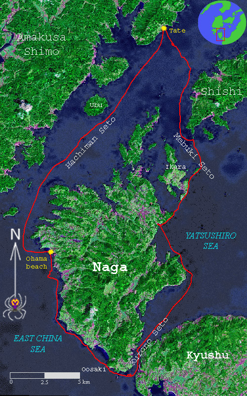
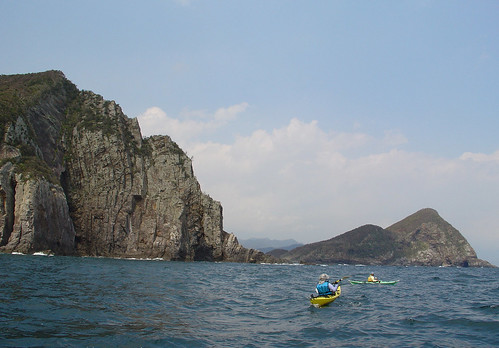
Heading out at 9:30 we caught the "spring tide", moving south.
As we were cruising down the Hachiman Seto along the west coast of Nagashima, a speedboat carrying four sunburned men approached us. To our surprise the boat pulled alongside us and we were asked for directions to Haiya Ohashi in Ushibuka City about 20km to the south. It was obvious that the boaters had no idea where they were. It seemed to us to be a little precocious to be speeding around without a chart amidst an archipelago of islands, rocks and shoals. The boat sped off again, hopefully finding its way.
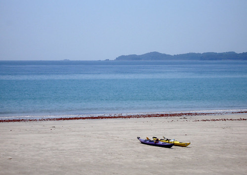
Our first bathroom break on Nagashima was the unexpectedly beautiful Ohama beach. A minute before this picture was taken a couple of tourists took their picture beside our boats, evidently finding them picturesque.
kuronoseto
High speeds were reached as we were swept through the Kuronoseto strait, which separates Nagashima from mainland Kyushu. With a few quick paddle strokes the GPS indicated a ground speed of over 20 km/h. Also encountered were tidal rapids, eddies, back currents and other features typical of a fast flowing channel.
Behemoth
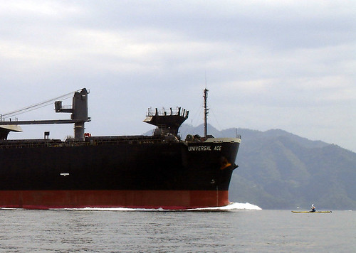
The Hachiman Seto is a major shipping route connecting the large ports along the eastern shore of Yatsushiro Inland Sea to the East China Sea. The passage is full of obstacles and the ships passing through take a circuitous course avoiding them. Additionally, fast currents flow in several directions within the straits.
For kayakers unfamiliar with this it may be difficult to avoid a collision while crossing the straits. Having studied the charts we knew where this behemoth was heading and therefore were able to come pretty close to snap this picture without any danger.
Tate beach
Tate is a convenient launching spot, although the toilets seemed to be locked in the off-season. Water is available upon inquiry.
Monday, April 11, 2005
Saturday, April 09, 2005
Friday, April 08, 2005
Shimanoura
Kyushu's east coast near the border between Oita Prefecture and Miyazaki Prefecture is ragged and dotted with caves and cliffs. A lot of this coastline is inaccessible by car, but in a kayak, one can explore the area thoroughly. Since it faces the Pacific Ocean, there is often swell, which makes exploring the caves next to impossible. These are best explored during the winter season when there are extended periods of westerly airflow.
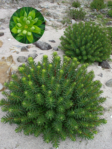
The "Kuroshio Current", the second strongest current in the world after the Gulf Stream, hugs Japan's Pacific coast. This current brings a warm-temperate climate to this area, providing a long growing season for vegetation. From June to September, tropical typhoons bring strong winds and heavy rain to this coast. In winter, temperatures and rainfall levels drop, often creating conditions that are even colder than the snowy winters on the western side of Honshu. Due to these conditions, there are many unusual plants and trees growing here.
Tuesday, April 05, 2005
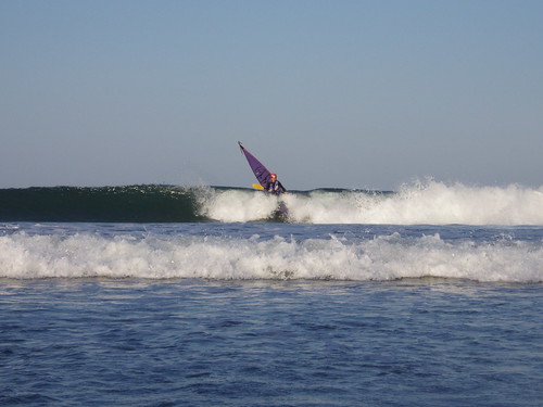
Surfing
Picture taken by Kenji Suemitsu
